Premium Badge Download on the App Store Get it on Google Play Turn-by-turn Navigation Offline Maps Bike Type Optimized Routing Premium Maps Custom Bike Computer Export Routes Route Previews Fall Detection Premium Support

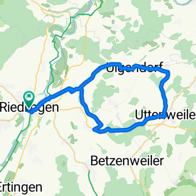
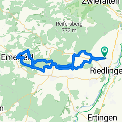
Cycling Route in Riedlingen, Baden-Württemberg, Germany

Upflamör Gammert Veringend Hochberg LA

1
Open this route in the Bikemap app

Open this route in the Bikemap app

Open this route in Bikemap Web

Open this route in Bikemap Web

80 km
Distance
662 m
Ascent
662 m
Descent
-:-- h
Duration
-- km/h
Avg. Speed
--- m
Max. Elevation

About This Route

Riedlingen, Eichenau, Daugendorf, Grüningen, Pflummern, re Mörsingen, li. Upflamör, Ohnhülben, Ittenhausen, re L275, Pistre, Gammertingen, li. B32, Hettingen, Hermentingen, Veringenstadt Baustelle Tunnel, Veringendorf, li. Hochberg !!!, Egelfingen, vor Billafingen re., Wilflingen, Heiligkreuztal, Altheim, Riedlingen.

This cycling route is ideal for: Road bike

You will cycle on the following surfaces: Paved

Customize this cycling route with the Bikemap route planner.

Make it yours!

Did you know? You can use this route as a template in our cycling route planner if you don't wish to start from scratch. Customize it based on your needs to plan your perfect cycling tour.

Open it in the app