Premium Badge Download on the App Store Get it on Google Play Turn-by-turn Navigation Offline Maps Bike Type Optimized Routing Premium Maps Custom Bike Computer Export Routes Route Previews Fall Detection Premium Support

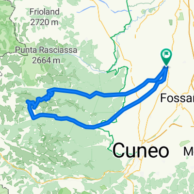
Cycling Route in Savigliano, Piedmont, Italy

Savigliano-Colle agnello

0
Open this route in the Bikemap app

Open this route in the Bikemap app

Open this route in Bikemap Web

Open this route in Bikemap Web

62 km
Distance
3049 m
Ascent
628 m
Descent
-:-- h
Duration
-- km/h
Avg. Speed
--- m
Max. Elevation

About This Route

Percorso che partendo da Savigliano,città della pianura cuneese si arrampica letteralmente fino allo spartiacque italo-francese con uno splendido balcone sulla regione francese del queyras.Periodo consigliato giugno-settembre.Altezza max m.2748(secondo colle alpino transitabile in italia).

Fantastica impresa per ciclisti allenati e grimpeur che amano le sensazioni forti.

This cycling route is ideal for: Road bike

You will cycle on the following surfaces: Paved

Customize this cycling route with the Bikemap route planner.

Make it yours!

Did you know? You can use this route as a template in our cycling route planner if you don't wish to start from scratch. Customize it based on your needs to plan your perfect cycling tour.

Open it in the app