Premium Badge Download on the App Store Get it on Google Play Turn-by-turn Navigation Offline Maps Bike Type Optimized Routing Premium Maps Custom Bike Computer Export Routes Route Previews Fall Detection Premium Support

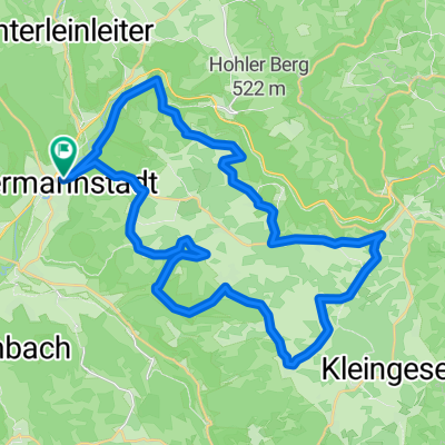
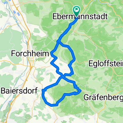
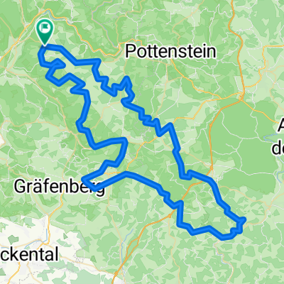
Cycling Route in Ebermannstadt, Bavaria, Germany

Klettern und Rollen TOUR 9/2003

0
Open this route in the Bikemap app

Open this route in the Bikemap app

Open this route in Bikemap Web

Open this route in Bikemap Web

99 km
Distance
736 m
Ascent
736 m
Descent
-:-- h
Duration
-- km/h
Avg. Speed
--- m
Max. Elevation

About This Route

Ebermannstadt(292) - Pretzfeld(293) St2260- Lützelsdorf - Wannbach(308)(Trubachtal, gegen die Fliesrichtung) - Apfelbach - Mostviel - Egloffstein(~ 350) - Hammermühle [Obertrubbach 434)]- Hiltpoldstein B2(512) - Erlastrut St 2241)- Weißennohe(360) Lillachtal -Herpersdorf(341) St 2236 - Schnaittach St 2236 (357)- Simmelsdorf(376) St 2241 - Ittling(LAU 2)(453) - Hetzendorf (499)(BT 30)- Betzenstein St 2163 (511)- Leupoldstein - Obertrubach (434)- Gößweinstein St 2191 - Sachsenmühle St 2685 - Muggendorf  B470 -

Niederfellerndorf - Ebermannstadt

This cycling route is ideal for: Road bike

You will cycle on the following surfaces: Paved

Customize this cycling route with the Bikemap route planner.

Make it yours!

Did you know? You can use this route as a template in our cycling route planner if you don't wish to start from scratch. Customize it based on your needs to plan your perfect cycling tour.

Open it in the app