Premium Badge Download on the App Store Get it on Google Play Turn-by-turn Navigation Offline Maps Bike Type Optimized Routing Premium Maps Custom Bike Computer Export Routes Route Previews Fall Detection Premium Support

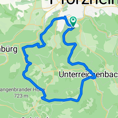
Cycling Route in Pforzheim, Baden-Württemberg, Germany

Ostweg Etappe 1: Pforzheim - Bad Liebenzell

0
Open this route in the Bikemap app

Open this route in the Bikemap app

Open this route in Bikemap Web

Open this route in Bikemap Web

27 km
Distance
635 m
Ascent
601 m
Descent
7:14 h
Duration
3.8 km/h
Avg. Speed
504 m
Max. Elevation

About This Route

Wasser, Burgen und Kapellen kennzeichnen die erste Etappe, die von Pforzheim, dem Ausgangspunkt des West-, Mittel- und Ostwegs über die Hochfläche des Biet hinunter durch das wildromantische Monbachtal nach Bad Liebenzell im Nagoldtal führt. Das Wegzeichen des Ostwegs ist die schwarz-rote Raute auf weißem Grund.
Customize this cycling route with the Bikemap route planner.

Make it yours!

Did you know? You can use this route as a template in our cycling route planner if you don't wish to start from scratch. Customize it based on your needs to plan your perfect cycling tour.

Open it in the app