Premium Badge Download on the App Store Get it on Google Play Turn-by-turn Navigation Offline Maps Bike Type Optimized Routing Premium Maps Custom Bike Computer Export Routes Route Previews Fall Detection Premium Support

Cycling Route in Lenggries, Bavaria, Germany

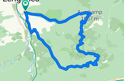
Lengries (770m) - Röhrlmoos Alm - Hochplatte beim Roß- und Buchstein (1480m) - Plattel - Seekarkreuzweg (Tragestrecke) - Rauhalm - Hirschsattel - Lengries

3
Open this route in the Bikemap app

Open this route in the Bikemap app

Open this route in Bikemap Web

Open this route in Bikemap Web

28 km
Distance
955 m
Ascent
955 m
Descent
-:-- h
Duration
-- km/h
Avg. Speed
--- m
Max. Elevation

About This Route

ACHTUNG:

Die Trage- und Schiebestrecke zwischen der Passage des Plattel und der Rauhalm (zwischen km 15 und 16) ist sehr, sehr schwer!! Ich habe etwa 1,5 Stunden gebraucht und war zwischenzeitlich vollkommen fertig. Der Weg ist sehr schmal, teilweise felsig, steil und sumpfig, ein echter "Fußweg".

Die Abzweigung vom Pfad (Richtung Seekarspitze) zur Rauhalm ist NICHT beschildert und der Weg ist Anfangs über sumpfige Almwiesen auch NICHT sichtbar. Man findet das nur mit GPS oder einer genauen Karte. Die Abzweigung ist VOR dem ZWEITEN Viehgatter (Ein kleines S-Gatter für Fußgänger wo man das Fahrrad nur schwer durchbekommen würde).

Ab der Rauhalm gehts dann auf Forstraße erst steil bergauf, dann über den Hrischsattel bergab, bergab,bergab.

This cycling route is ideal for: MTB

You will cycle on the following surfaces: Paved Unpaved Gravel

Customize this cycling route with the Bikemap route planner.

Make it yours!

Did you know? You can use this route as a template in our cycling route planner if you don't wish to start from scratch. Customize it based on your needs to plan your perfect cycling tour.

Open it in the app