Premium Badge Download on the App Store Get it on Google Play Turn-by-turn Navigation Offline Maps Bike Type Optimized Routing Premium Maps Custom Bike Computer Export Routes Route Previews Fall Detection Premium Support

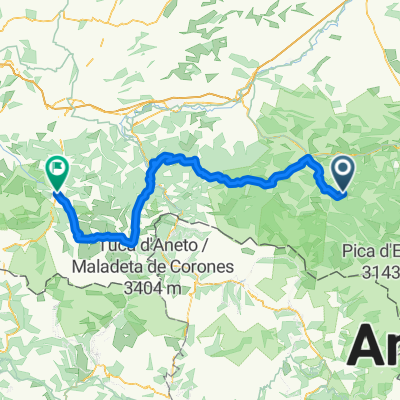
Cycling Route in Saint-Girons, Languedoc-Roussillon-Midi-Pyrénées, France

Jolie tour sans forcément de grosses montagnes

0
Open this route in the Bikemap app

Open this route in the Bikemap app

Open this route in Bikemap Web

Open this route in Bikemap Web

139 km
Distance
3998 m
Ascent
3999 m
Descent
-:-- h
Duration
-- km/h
Avg. Speed
1565 m
Max. Elevation

About This Route

Col du Saraillé depuis Ercé (9,4 km à 4,3%) 2cat


Col de la Crouzette depuis Biert (8,4km à 7,76%) 1cat


Col de Catchaudégué (9,8km à 4,78%) 2cat


Col d'Ayens depuis Soulan (7,4km à 6,4%) 2cat


Col d'Agnes depuis Massat (17,6km à 5,23%) 1cat

Customize this cycling route with the Bikemap route planner.

Make it yours!

Did you know? You can use this route as a template in our cycling route planner if you don't wish to start from scratch. Customize it based on your needs to plan your perfect cycling tour.

Open it in the app