Premium Badge Download on the App Store Get it on Google Play Turn-by-turn Navigation Offline Maps Bike Type Optimized Routing Premium Maps Custom Bike Computer Export Routes Route Previews Fall Detection Premium Support

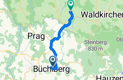
Cycling Route in Büchlberg, Bavaria, Germany

Carl-Kerber-Straße 7, Büchlberg nach Ernstinger Straße 18, Röhrnbach

0
Open this route in the Bikemap app

Open this route in the Bikemap app

Open this route in Bikemap Web

Open this route in Bikemap Web

11 km
Distance
123 m
Ascent
154 m
Descent
0:35 h
Duration
20.0 km/h
Avg. Speed
515 m
Max. Elevation
Customize this cycling route with the Bikemap route planner.

Make it yours!

Did you know? You can use this route as a template in our cycling route planner if you don't wish to start from scratch. Customize it based on your needs to plan your perfect cycling tour.

Open it in the app