

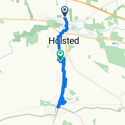
Ostsee 8: Hovborg-Vojens 66,2km 190hm
A cycling route starting in Holsted, Region South Denmark, Denmark.
Overview
About this route
Hotel Vojens, Nørregade 2, 6500 Vojens, Dänemark
- -:--
- Duration
- 66.2 km
- Distance
- 259 m
- Ascent
- 262 m
- Descent
- ---
- Avg. speed
- 96 m
- Avg. speed

Route quality
Waytypes & surfaces along the route
Waytypes
Quiet road
25.3 km
(38 %)
Road
20.7 km
(31 %)
Surfaces
Paved
60.4 km
(91 %)
Unpaved
5.7 km
(9 %)
Asphalt
59.5 km
(90 %)
Gravel
5.7 km
(9 %)
Continue with Bikemap
Use, edit, or download this cycling route
You would like to ride Ostsee 8: Hovborg-Vojens 66,2km 190hm or customize it for your own trip? Here is what you can do with this Bikemap route:
Free features
- Save this route as favorite or in collections
- Copy & plan your own version of this route
- Sync your route with Garmin or Wahoo
Premium features
Free trial for 3 days, or one-time payment. More about Bikemap Premium.
- Navigate this route on iOS & Android
- Export a GPX / KML file of this route
- Create your custom printout (try it for free)
- Download this route for offline navigation
Discover more Premium features.
Get Bikemap PremiumFrom our community
Other popular routes starting in Holsted
 Ostsee 8: Hovborg-Vojens 66,2km 190hm
- Distance
- 66.2 km
- Ascent
- 259 m
- Descent
- 262 m
- Location
- Holsted, Region South Denmark, Denmark
 Recovered Route
- Distance
- 3.7 km
- Ascent
- 10 m
- Descent
- 24 m
- Location
- Holsted, Region South Denmark, Denmark
 Særmarksvej 19, Holsted to Særmarksvej 19, Holsted
- Distance
- 3.8 km
- Ascent
- 16 m
- Descent
- 16 m
- Location
- Holsted, Region South Denmark, Denmark
 Nørregade 51, Holsted to Højmarksvej 18, Holsted
- Distance
- 8.2 km
- Ascent
- 185 m
- Descent
- 179 m
- Location
- Holsted, Region South Denmark, Denmark
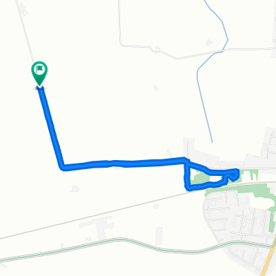
 Klelund Plantage
- Distance
- 35.4 km
- Ascent
- 102 m
- Descent
- 97 m
- Location
- Holsted, Region South Denmark, Denmark
 Særmarksvej 19, Holsted to Særmarksvej 19, Holsted
- Distance
- 3.9 km
- Ascent
- 22 m
- Descent
- 23 m
- Location
- Holsted, Region South Denmark, Denmark
 Tvilevej, Holsted naar Hovedgaden 1, Sønder Omme
- Distance
- 45.4 km
- Ascent
- 38 m
- Descent
- 41 m
- Location
- Holsted, Region South Denmark, Denmark
 Holsted Cycling
- Distance
- 26.4 km
- Ascent
- 95 m
- Descent
- 93 m
- Location
- Holsted, Region South Denmark, Denmark
Open it in the app