Premium Badge Download on the App Store Get it on Google Play Turn-by-turn Navigation Offline Maps Bike Type Optimized Routing Premium Maps Custom Bike Computer Export Routes Route Previews Fall Detection Premium Support

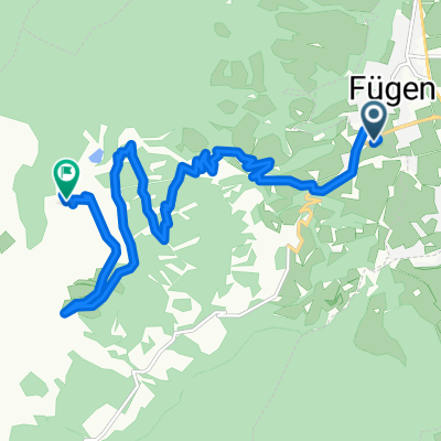
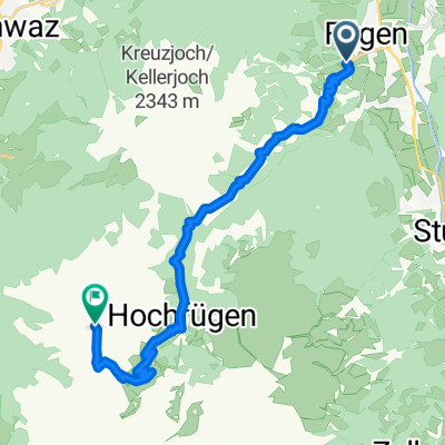
Cycling Route in Fügen, Tyrol, Austria

Zillertal-Mountain-Challenge 2008

1
Open this route in the Bikemap app

Open this route in the Bikemap app

Open this route in Bikemap Web

Open this route in Bikemap Web

124 km
Distance
3636 m
Ascent
2759 m
Descent
-:-- h
Duration
-- km/h
Avg. Speed
1640 m
Max. Elevation

About This Route

Jedermann-Rennen zur Königsetappe der Deutschland-Tour 2008 incl. einer speziellen Bergwertung des Schlussanstieges von Fügen nach Hochfügen mit einer durchschnittlichen Steigung von 10,5% von km 13 - 5 vor dem Ziel.

This cycling route is ideal for: Road bike

You will cycle on the following surfaces: Paved

Customize this cycling route with the Bikemap route planner.

Make it yours!

Did you know? You can use this route as a template in our cycling route planner if you don't wish to start from scratch. Customize it based on your needs to plan your perfect cycling tour.

Open it in the app