Premium Badge Download on the App Store Get it on Google Play Turn-by-turn Navigation Offline Maps Bike Type Optimized Routing Premium Maps Custom Bike Computer Export Routes Route Previews Fall Detection Premium Support

Cycling Route in Courcelles, Wallonia, Belgium

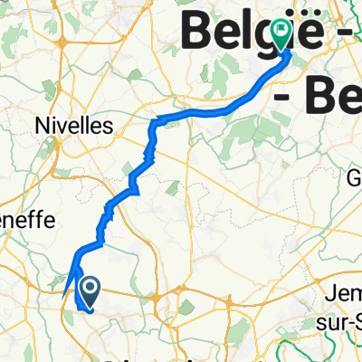
26 Km Trazegnies-Carnières-Anderlues-Mt St Aldegonde-Fontaine et jardins de Myrtille.

0
Open this route in the Bikemap app

Open this route in the Bikemap app

Open this route in Bikemap Web

Open this route in Bikemap Web

26 km
Distance
252 m
Ascent
253 m
Descent
-:-- h
Duration
-- km/h
Avg. Speed
186 m
Max. Elevation

About This Route

26 Km Trazegnies-Carnières-Mt St Aldegonde-Anderlues-Fontaine et jardins de Myrtille.

Customize this cycling route with the Bikemap route planner.

Make it yours!

Did you know? You can use this route as a template in our cycling route planner if you don't wish to start from scratch. Customize it based on your needs to plan your perfect cycling tour.

Open it in the app