Cycling Route in Oberursel, Hesse, Germany
2012-01-15-MTB-Bad-Camberg
0
Open this route in the Bikemap app

Open this route in Bikemap Web
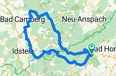
74
km
Distance
Distance
1133
m
Ascent
Ascent
1131
m
Descent
Descent
-:--
h
Duration
Duration
--
km/h
Avg. Speed
Avg. Speed
---
m
Max. Elevation
Max. Elevation


