Cycling Route in Bad Abbach, Bavaria, Germany
solo_2024_4_Kehlheim
1

Open this route in the Bikemap app

Open this route in Bikemap Web
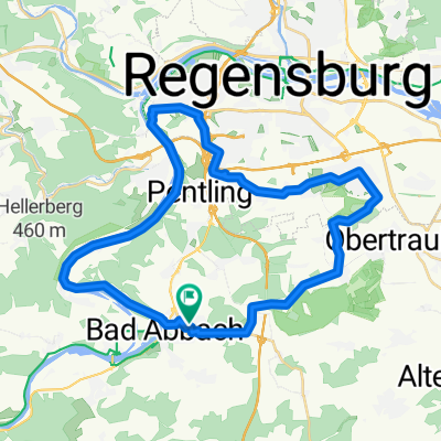
99
km
Distance
Distance
426
m
Ascent
Ascent
356
m
Descent
Descent
-:--
h
Duration
Duration
--
km/h
Avg. Speed
Avg. Speed
438
m
Max. Elevation
Max. Elevation