Cycling Route in Pettstadt, Bavaria, Germany
solo_2024_6_Bamberg-
0

Open this route in the Bikemap app

Open this route in Bikemap Web
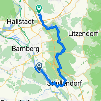
95
km
Distance
Distance
362
m
Ascent
Ascent
270
m
Descent
Descent
-:--
h
Duration
Duration
--
km/h
Avg. Speed
Avg. Speed
343
m
Max. Elevation
Max. Elevation