Premium Badge Download on the App Store Get it on Google Play Turn-by-turn Navigation Offline Maps Bike Type Optimized Routing Premium Maps Custom Bike Computer Export Routes Route Previews Fall Detection Premium Support

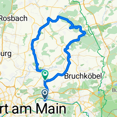
Cycling Route in Mühlheim am Main, Hesse, Germany

Mhm Nidda Hohe Straße Hanau Mhm

1
Open this route in the Bikemap app

Open this route in the Bikemap app

Open this route in Bikemap Web

Open this route in Bikemap Web

79 km
Distance
177 m
Ascent
180 m
Descent
-:-- h
Duration
-- km/h
Avg. Speed
--- m
Max. Elevation

About This Route

Sehr flache Strecke am Main (Südseite)entlang bis Schwanheim. Über die Autobahnbrücke auf die Nordseite des Mains bis zur Nidda-Mündung. An der Nidda entlang bis nach Bad Vilbel. Jetzt hinauf nach Bergen - Enkheim. Dann entlang der Hohen Straße bis nach Mittelbuchen. Der Weg führt weiter bis nach Wilhelmsbad, vorbei am Schloss Richtung Hanau Innenstadt. Rast beim CENTRO (Spanische Gaststätte mit zivilen Preisen). Dann zurück nach Mühlheim

You will cycle on the following surfaces: Paved Unpaved Gravel

Customize this cycling route with the Bikemap route planner.

Make it yours!

Did you know? You can use this route as a template in our cycling route planner if you don't wish to start from scratch. Customize it based on your needs to plan your perfect cycling tour.

Open it in the app