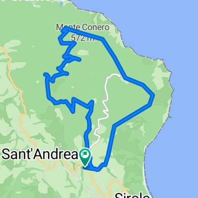
Cycling Route in Sirolo, The Marches, Italy
Erta M. Conero
1

Open this route in the Bikemap app

Open this route in Bikemap Web
4
km
Distance
Distance
379
m
Ascent
Ascent
7
m
Descent
Descent
-:--
h
Duration
Duration
--
km/h
Avg. Speed
Avg. Speed
---
m
Max. Elevation
Max. Elevation