

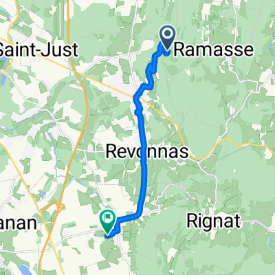
Parcours dans le Bugey
A cycling route starting in Ceyzériat, Auvergne-Rhône-Alpes, France.
Overview
About this route
8 cols à faire dans le Bugey
Col des Justices à faire en option.
- -:--
- Duration
- 87.6 km
- Distance
- 1,206 m
- Ascent
- 1,207 m
- Descent
- ---
- Avg. speed
- ---
- Max. altitude
Route quality
Waytypes & surfaces along the route
Waytypes
Road
27.2 km
(31 %)
Quiet road
12.3 km
(14 %)
Surfaces
Paved
18.4 km
(21 %)
Unpaved
2.6 km
(3 %)
Asphalt
18.4 km
(21 %)
Gravel
1.8 km
(2 %)
Route highlights
Points of interest along the route
Point of interest after 3.7 km
Col de la Pérouse
Point of interest after 5.7 km
Trou du Sac
Point of interest after 11.7 km
Col de France
Point of interest after 17.4 km
Col de la Rousse
Point of interest after 30.2 km
Col des Justices
Point of interest after 39.4 km
Collet de Chavannes
Point of interest after 70 km
Le dernier col, col du Hibou 384m
Point of interest after 77.6 km
Col de la Roche
Continue with Bikemap
Use, edit, or download this cycling route
You would like to ride Parcours dans le Bugey or customize it for your own trip? Here is what you can do with this Bikemap route:
Free features
- Save this route as favorite or in collections
- Copy & plan your own version of this route
- Split it into stages to create a multi-day tour
- Sync your route with Garmin or Wahoo
Premium features
Free trial for 3 days, or one-time payment. More about Bikemap Premium.
- Navigate this route on iOS & Android
- Export a GPX / KML file of this route
- Create your custom printout (try it for free)
- Download this route for offline navigation
Discover more Premium features.
Get Bikemap PremiumFrom our community
Other popular routes starting in Ceyzériat
 SIGNAL du CUIRON, por Ceyzériat
- Distance
- 3.5 km
- Ascent
- 260 m
- Descent
- 11 m
- Location
- Ceyzériat, Auvergne-Rhône-Alpes, France
 De Allée le Cart 5, Ceyzériat à Le Cart 1, Ceyzériat
- Distance
- 3.4 km
- Ascent
- 3 m
- Descent
- 37 m
- Location
- Ceyzériat, Auvergne-Rhône-Alpes, France
 Itinéraire à partir de 182 Chemin de Schall, Ceyzériat
- Distance
- 70.1 km
- Ascent
- 551 m
- Descent
- 547 m
- Location
- Ceyzériat, Auvergne-Rhône-Alpes, France
 De Allée le Cart 5, Ceyzériat à Rue Notre Dame 1, Bourg-en-Bresse
- Distance
- 10.9 km
- Ascent
- 108 m
- Descent
- 194 m
- Location
- Ceyzériat, Auvergne-Rhône-Alpes, France
 SIGNAL du CUIRON, por Ceyzériat
- Distance
- 3.5 km
- Ascent
- 252 m
- Descent
- 7 m
- Location
- Ceyzériat, Auvergne-Rhône-Alpes, France
 De La Montagne à Chemin des Teppes
- Distance
- 9.5 km
- Ascent
- 45 m
- Descent
- 432 m
- Location
- Ceyzériat, Auvergne-Rhône-Alpes, France
 27 Rue Jérôme Lalande, Ceyzériat a Allée Bresse Revermont, Jasseron
- Distance
- 5.3 km
- Ascent
- 380 m
- Descent
- 426 m
- Location
- Ceyzériat, Auvergne-Rhône-Alpes, France
 Parcours dans le Bugey
- Distance
- 87.6 km
- Ascent
- 1,206 m
- Descent
- 1,207 m
- Location
- Ceyzériat, Auvergne-Rhône-Alpes, France
Open it in the app