Premium Badge Download on the App Store Get it on Google Play Turn-by-turn Navigation Offline Maps Bike Type Optimized Routing Premium Maps Custom Bike Computer Export Routes Route Previews Fall Detection Premium Support

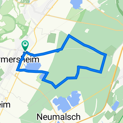
Cycling Route in Durmersheim, Baden-Württemberg, Germany

W`heim-Ettl.-Schielberg-Vö`bach-Malsch-W`heim

0
Open this route in the Bikemap app

Open this route in the Bikemap app

Open this route in Bikemap Web

Open this route in Bikemap Web

54 km
Distance
566 m
Ascent
565 m
Descent
-:-- h
Duration
-- km/h
Avg. Speed
--- m
Max. Elevation

About This Route

Nach Ettlingen geht es stetig bergauf, das zieht sich bis Völkersbach. Kurze Teile recht anstrengend.(z.B.von Marxzell bis Burbach) Aber immer gut zu fahren. Teilweise Waldwege, meißt aber Asphalt. Für geübte kein Problem.

You will cycle on the following surfaces: Paved

Customize this cycling route with the Bikemap route planner.

Make it yours!

Did you know? You can use this route as a template in our cycling route planner if you don't wish to start from scratch. Customize it based on your needs to plan your perfect cycling tour.

Open it in the app