Premium Badge Download on the App Store Get it on Google Play Turn-by-turn Navigation Offline Maps Bike Type Optimized Routing Premium Maps Custom Bike Computer Export Routes Route Previews Fall Detection Premium Support

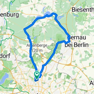
Cycling Route in Pankow, Land Berlin, Germany

Mauerweg-Nord und Tegler-Fließ

0
Open this route in the Bikemap app

Open this route in the Bikemap app

Open this route in Bikemap Web

Open this route in Bikemap Web

23 km
Distance
70 m
Ascent
72 m
Descent
1:26 h
Duration
-- km/h
Avg. Speed
60 m
Max. Elevation

About This Route

Mauerweg-Nord und Tegler-Fließ

This cycling route is ideal for: City bike

Customize this cycling route with the Bikemap route planner.

Make it yours!

Did you know? You can use this route as a template in our cycling route planner if you don't wish to start from scratch. Customize it based on your needs to plan your perfect cycling tour.

Open it in the app