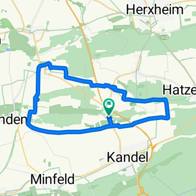
Cycling Route in Kandel, Rhineland-Palatinate, Germany
Trifels (Annweiler)
1

Open this route in the Bikemap app

Open this route in Bikemap Web
76
km
Distance
Distance
478
m
Ascent
Ascent
479
m
Descent
Descent
-:--
h
Duration
Duration
--
km/h
Avg. Speed
Avg. Speed
---
m
Max. Elevation
Max. Elevation