Premium Badge Download on the App Store Get it on Google Play Turn-by-turn Navigation Offline Maps Bike Type Optimized Routing Premium Maps Custom Bike Computer Export Routes Route Previews Fall Detection Premium Support

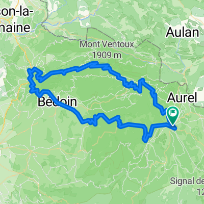
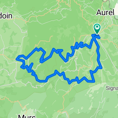
Cycling Route in Sault, Provence-Alpes-Côte d'Azur Region, France

Sault-Sault per La Nesque, Bedoin i Ventoux

1
Open this route in the Bikemap app

Open this route in the Bikemap app

Open this route in Bikemap Web

Open this route in Bikemap Web

88 km
Distance
2876 m
Ascent
2499 m
Descent
-:-- h
Duration
-- km/h
Avg. Speed
1862 m
Max. Elevation

About This Route

Sortida de Sault i lleugera pujada per la gorga de La Nesque, meravellosa, per baixar fins a Bedoin a fer el Ventoux. A dalt, donar la volta i baixar al Xalet Reynard a recuperar forces, i tot baixada molt maca fins a Sault.

Altament recomanable.

This cycling route is ideal for: Road bike

You will cycle on the following surfaces: Paved

Customize this cycling route with the Bikemap route planner.

Make it yours!

Did you know? You can use this route as a template in our cycling route planner if you don't wish to start from scratch. Customize it based on your needs to plan your perfect cycling tour.

Open it in the app