Cycling Route in Pirna, Saxony, Germany
Spanghorn 03-926hm
1

Open this route in the Bikemap app

Open this route in Bikemap Web
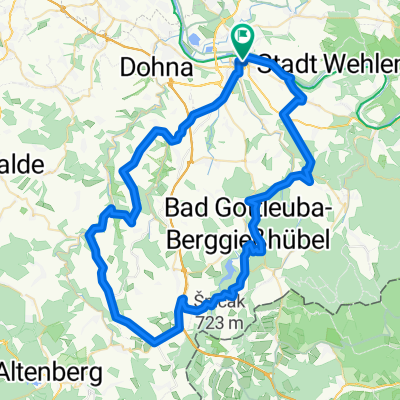
40
km
Distance
Distance
614
m
Ascent
Ascent
614
m
Descent
Descent
-:--
h
Duration
Duration
--
km/h
Avg. Speed
Avg. Speed
---
m
Max. Elevation
Max. Elevation