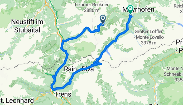
Cycling Route in Schmirn, Tyrol, Austria
Tuxer-Gletscher-Runde (schwer)
0

Open this route in the Bikemap app
Open this route in Bikemap Web
109
km
Distance
Distance
3113
m
Ascent
Ascent
3712
m
Descent
Descent
-:--
h
Duration
Duration
--
km/h
Avg. Speed
Avg. Speed
---
m
Max. Elevation
Max. Elevation


