Premium Badge Download on the App Store Get it on Google Play Turn-by-turn Navigation Offline Maps Bike Type Optimized Routing Premium Maps Custom Bike Computer Export Routes Route Previews Fall Detection Premium Support

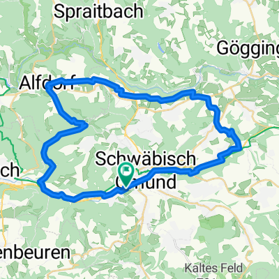
Cycling Route in Schwäbisch Gmünd, Baden-Württemberg, Germany

GD-Buoch

0
Open this route in the Bikemap app

Open this route in the Bikemap app

Open this route in Bikemap Web

Open this route in Bikemap Web

66 km
Distance
840 m
Ascent
664 m
Descent
-:-- h
Duration
-- km/h
Avg. Speed
--- m
Max. Elevation

About This Route

Im Zickzack zwischen Rems und Fils mit ein paar netten Buckeln und Abfahrten incl. Bergankunft ;-)

Details:

Schwäbisch Gmünd - Kleppere bis Rechberghausen - Wangen - Uhingen - Diegelsberg (wg. Straßensperrung im Nassbachtal) - kurz vor Schlichten wieder Richtung Filstal - Reichenbach - Baltmannsweiler - Schneit - Beutelsbach - Grunbach - Buoch

This cycling route is ideal for: Road bike

You will cycle on the following surfaces: Paved

Customize this cycling route with the Bikemap route planner.

Make it yours!

Did you know? You can use this route as a template in our cycling route planner if you don't wish to start from scratch. Customize it based on your needs to plan your perfect cycling tour.

Open it in the app