Premium Badge Download on the App Store Get it on Google Play Turn-by-turn Navigation Offline Maps Bike Type Optimized Routing Premium Maps Custom Bike Computer Export Routes Route Previews Fall Detection Premium Support

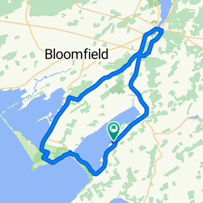
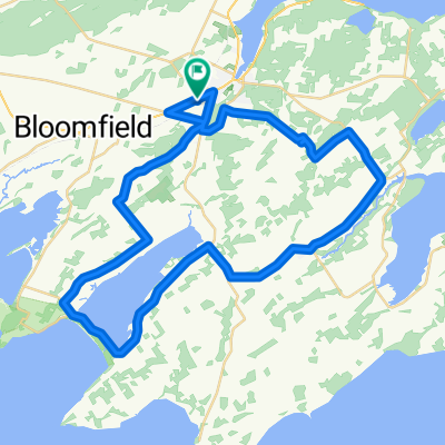
Cycling Route in Picton, Ontario, Canada

Big Island/Skyway/Fish Lake Loop

0
Open this route in the Bikemap app

Open this route in the Bikemap app

Open this route in Bikemap Web

Open this route in Bikemap Web

69 km
Distance
177 m
Ascent
167 m
Descent
-:-- h
Duration
-- km/h
Avg. Speed
--- m
Max. Elevation

About This Route

Meet at Mary St Parking lot at 08:00. Out past high school to Demorestville, around Big Island counterclockwise, back down the good pavement to the Skyway Bridge, up Cole Hill, Mt. Carmel to Fish Lake all the way to Cty Rd 5 and then back track home.

This cycling route is ideal for: Road bike

You will cycle on the following surfaces: Paved

Customize this cycling route with the Bikemap route planner.

Make it yours!

Did you know? You can use this route as a template in our cycling route planner if you don't wish to start from scratch. Customize it based on your needs to plan your perfect cycling tour.

Open it in the app