Premium Badge Download on the App Store Get it on Google Play Turn-by-turn Navigation Offline Maps Bike Type Optimized Routing Premium Maps Custom Bike Computer Export Routes Route Previews Fall Detection Premium Support

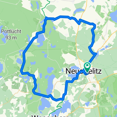
Cycling Route in Neustrelitz, Mecklenburg-Vorpommern, Germany

426. Havelquelle --> Havelmündung und Holzaussichtsturm

0
Open this route in the Bikemap app

Open this route in the Bikemap app

Open this route in Bikemap Web

Open this route in Bikemap Web

177 km
Distance
220 m
Ascent
263 m
Descent
-:-- h
Duration
-- km/h
Avg. Speed
--- m
Max. Elevation

About This Route

gefahren 04.07.2012,

mit Zugan- und abfahrt 192 km

Havel ist 377km lang, diese Verbindung

Quelle - Mündung jedoch nur 145km

nach Quelle Havelradweg tw. Weg, Pflaster, Betonplatten, auch hinter dem Wehr Richtung Mündung anfangs unbefestigt, wird dann aber (schlechter) Plattenweg, nach ca. 2,5 km dann Asphalt - tolle Fahrt zwischen Elbe und Havel

imposant auch der Holzaussichtsturm (Plattform in 36m Höhe) vor Blumenthal, der Weg dahin leider sandig (aber nicht lang), zuletzt Treppen

This cycling route is ideal for: Road bike

You will cycle on the following surfaces: Paved Unpaved

Customize this cycling route with the Bikemap route planner.

Make it yours!

Did you know? You can use this route as a template in our cycling route planner if you don't wish to start from scratch. Customize it based on your needs to plan your perfect cycling tour.

Open it in the app