Premium Badge Download on the App Store Get it on Google Play Turn-by-turn Navigation Offline Maps Bike Type Optimized Routing Premium Maps Custom Bike Computer Export Routes Route Previews Fall Detection Premium Support

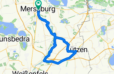
Cycling Route in Merseburg, Saxony-Anhalt, Germany

Sole, Kohle, Geschichte-Radweg Teil zwei

0
Open this route in the Bikemap app

Open this route in the Bikemap app

Open this route in Bikemap Web

Open this route in Bikemap Web

48 km
Distance
131 m
Ascent
131 m
Descent
-:-- h
Duration
-- km/h
Avg. Speed
--- m
Max. Elevation

About This Route

Diesmal der Teil von Bad Dürrenberg nach Lützen. Zurück über den Elster-Saale- und den Saale- Unstrut, -Elster Radacht und natürlich den Saaleradwanderweg hin ujnd zurück.

This cycling route is ideal for: MTB

You will cycle on the following surfaces: Paved Unpaved Gravel

Customize this cycling route with the Bikemap route planner.

Make it yours!

Did you know? You can use this route as a template in our cycling route planner if you don't wish to start from scratch. Customize it based on your needs to plan your perfect cycling tour.

Open it in the app