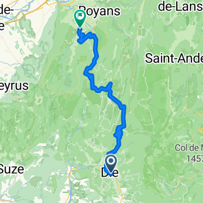
Premium Badge Download on the App Store Get it on Google Play Turn-by-turn Navigation Offline Maps Bike Type Optimized Routing Premium Maps Custom Bike Computer Export Routes Route Previews Fall Detection Premium Support

Cycling Route in Die, Auvergne-Rh么ne-Alpes, France

die /rousset /tour du Glandasse

0
Open this route in the Bikemap app

Open this route in the Bikemap app

Open this route in Bikemap Web

Open this route in Bikemap Web

55 km
Distance
1687 m
Ascent
1684 m
Descent
-:-- h
Duration
-- km/h
Avg. Speed
--- m
Max. Elevation

About This Route

This cycling route is ideal for: MTB

You will cycle on the following surfaces: Paved Unpaved Gravel

Highlights Along The Route

Point of Interest

sur ce petit parking cercher e petit chemin qui par 脿 plat sur 20 m猫tres ensuite tr猫s raide sur 50 m猫tres attention!le gps dans cette partie marche mal par effet d'茅cho de la pente et de la couverture v茅g茅tale; la carte reste le meilleur support pour suivre le tour du Glandasse

Customize this cycling route with the Bikemap route planner.

Make it yours!

Did you know? You can use this route as a template in our cycling route planner if you don't wish to start from scratch. Customize it based on your needs to plan your perfect cycling tour.

Open it in the app