Premium Badge Download on the App Store Get it on Google Play Turn-by-turn Navigation Offline Maps Bike Type Optimized Routing Premium Maps Custom Bike Computer Export Routes Route Previews Fall Detection Premium Support

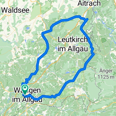
Cycling Route in Wangen im Allgäu, Baden-Württemberg, Germany

Wangen-Riedbergpass-Wangen

2
Open this route in the Bikemap app

Open this route in the Bikemap app

Open this route in Bikemap Web

Open this route in Bikemap Web

143 km
Distance
2338 m
Ascent
2258 m
Descent
-:-- h
Duration
-- km/h
Avg. Speed
1410 m
Max. Elevation

About This Route

Geeignet für Rennrad.

145 km / 2000 hm.

Wangen-Bregenz-Doren-Hittisau-Riedberpass-Fischen-Sonthofen-Immenstadt-Oberstaufen-Stiefenhofen-Röthenbach-Steinegaden-Eglofstal-Wangen.

Den Alpsee kann man am Nordufer passieren (kein Verkehr), das lässt leider der Router nicht zu. Einfach bei Bühl in Richtung Camping und dann immer dem Weg folgen.

This cycling route is ideal for: Road bike

You will cycle on the following surfaces: Paved

Customize this cycling route with the Bikemap route planner.

Make it yours!

Did you know? You can use this route as a template in our cycling route planner if you don't wish to start from scratch. Customize it based on your needs to plan your perfect cycling tour.

Open it in the app