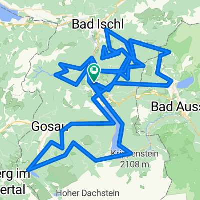
Cycling Route in Bad Goisern am Hallstättersee, Upper Austria, Austria
Sandling-Route from St. Agatha
2

Open this route in the Bikemap app

Open this route in Bikemap Web
40
km
Distance
Distance
1297
m
Ascent
Ascent
1297
m
Descent
Descent
-:--
h
Duration
Duration
--
km/h
Avg. Speed
Avg. Speed
---
m
Max. Elevation
Max. Elevation