Cycling Route in Hopferau, Bavaria, Germany
TROAL001-Senkele-Füssen
0

Open this route in the Bikemap app

Open this route in Bikemap Web
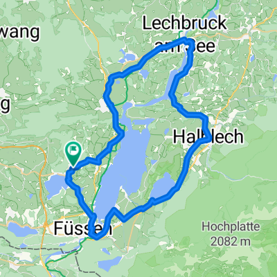
40
km
Distance
Distance
431
m
Ascent
Ascent
459
m
Descent
Descent
-:--
h
Duration
Duration
--
km/h
Avg. Speed
Avg. Speed
885
m
Max. Elevation
Max. Elevation