Premium Badge Download on the App Store Get it on Google Play Turn-by-turn Navigation Offline Maps Bike Type Optimized Routing Premium Maps Custom Bike Computer Export Routes Route Previews Fall Detection Premium Support

Cycling Route in Casalecchio di Reno, Emilia-Romagna, Italy

Parco Talon e Castello dei Rossi
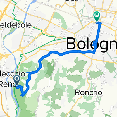
12
Open this route in the Bikemap app

Open this route in the Bikemap app

Open this route in Bikemap Web

Open this route in Bikemap Web

16 km
Distance
104 m
Ascent
104 m
Descent
-:-- h
Duration
-- km/h
Avg. Speed
--- m
Max. Elevation

About This Route

Si parte da  Parco Talon si segue la strada asfaltata par circa 1,5 Km per poi scendere verso il fiume ( sulla destra gli orti) dopo circa un Km si attraversa il fiume su una passerella pedonale -ciclabile. si gira a sinistra su starda asfaltata - dopo circa 2 Km si arriva ai laghetti del Maglio  si superano e prima di passare il ponte sull'autortrada si gira a sinistra per un strada bianca alberata-

dopo cirsa 1.5 Km si arriva al Castello dei Rossi . bellissimo borgo medioevale. da qui si può tornare indietro oppure proseguire lassando sulla riva opposta a percorrendo un sentiero staerrato fino al primo ponte attraversato

This cycling route is ideal for: MTB

You will cycle on the following surfaces: Unpaved

Customize this cycling route with the Bikemap route planner.

Make it yours!

Did you know? You can use this route as a template in our cycling route planner if you don't wish to start from scratch. Customize it based on your needs to plan your perfect cycling tour.

Open it in the app