Premium Badge Download on the App Store Get it on Google Play Turn-by-turn Navigation Offline Maps Bike Type Optimized Routing Premium Maps Custom Bike Computer Export Routes Route Previews Fall Detection Premium Support

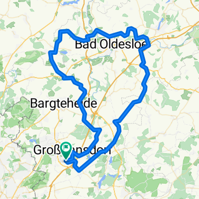
Cycling Route in Großhansdorf, Schleswig-Holstein, Germany

Sachsenwald, Bistal

0
Open this route in the Bikemap app

Open this route in the Bikemap app

Open this route in Bikemap Web

Open this route in Bikemap Web

90 km
Distance
131 m
Ascent
166 m
Descent
-:-- h
Duration
-- km/h
Avg. Speed
--- m
Max. Elevation

About This Route

<span style="font-family: Consolas; color: #000000; font-size: small;">Durch</span>

<span style="font-family: Consolas; color: #000000; font-size: small;">Papendorf und Witzhave erreichen</span>

<span style="font-family: Consolas; color: #000000; font-size: small;">wir den Sachsenwald und kommen</span>

<span style="font-family: Consolas; color: #000000; font-size: small;">durch das schöne Bistal. Von hier aus fahren wir zum Marschbahndamm, diesem folgen wir teilweise bis Fünfhausen. Weiter geht es am NSG »Die Reit«, S-Mittlerer Landweg</span>

<span style="font-family: "Calibri","sans-serif"; font-size: 11pt; mso-ascii-theme-font: minor-latin; mso-fareast-font-family: Calibri; mso-fareast-theme-font: minor-latin; mso-hansi-theme-font: minor-latin; mso-bidi-font-family: 'Times New Roman'; mso-bidi-theme-font: minor-bidi; mso-ansi-language: DE; mso-fareast-language: EN-US; mso-bidi-language: AR-SA;"><span style="color: #000000;">(65 km) und durch das NSG »Boberger Niederung « zur U-Billstedt. </span></span>

You will cycle on the following surfaces: Paved

Customize this cycling route with the Bikemap route planner.

Make it yours!

Did you know? You can use this route as a template in our cycling route planner if you don't wish to start from scratch. Customize it based on your needs to plan your perfect cycling tour.

Open it in the app