Premium Badge Download on the App Store Get it on Google Play Turn-by-turn Navigation Offline Maps Bike Type Optimized Routing Premium Maps Custom Bike Computer Export Routes Route Previews Fall Detection Premium Support

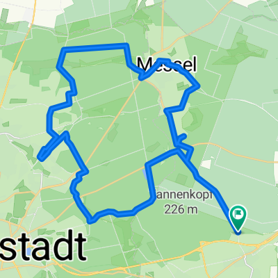
Cycling Route in Roßdorf, Hesse, Germany

Roßdorf - Ludwigshöh

1
Open this route in the Bikemap app

Open this route in the Bikemap app

Open this route in Bikemap Web

Open this route in Bikemap Web

18 km
Distance
220 m
Ascent
219 m
Descent
-:-- h
Duration
-- km/h
Avg. Speed
252 m
Max. Elevation

About This Route

über den Traiser Weg, Eiserne Hand, Traiser Hütchen Richtung Eberstadt (Achtung: steile Abfahrt mit groben Kies). Am Melittabrunnen rechts hoch zur Ludwigshöhe. Dort die Aussicht auf Darmstadt genießen. An der Sternwarte vorbei zum Böllenfalltor und über die Lichtwiese und die Fischteiche zurück nach Roßdorf.

This cycling route is ideal for: MTB

You will cycle on the following surfaces: Paved Unpaved Gravel

Customize this cycling route with the Bikemap route planner.

Make it yours!

Did you know? You can use this route as a template in our cycling route planner if you don't wish to start from scratch. Customize it based on your needs to plan your perfect cycling tour.

Open it in the app