Premium Badge Download on the App Store Get it on Google Play Turn-by-turn Navigation Offline Maps Bike Type Optimized Routing Premium Maps Custom Bike Computer Export Routes Route Previews Fall Detection Premium Support

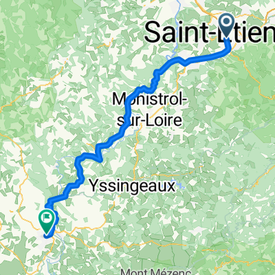
Cycling Route in Saint-Etienne, Auvergne-Rhône-Alpes, France

Tournon-sur-Rhône - Saint-Étienne

0
Open this route in the Bikemap app

Open this route in the Bikemap app

Open this route in Bikemap Web

Open this route in Bikemap Web

207 km
Distance
2862 m
Ascent
3265 m
Descent
-:-- h
Duration
-- km/h
Avg. Speed
--- m
Max. Elevation

About This Route

This cycling route is ideal for: Road bike

You will cycle on the following surfaces: Unpaved

Highlights Along The Route

Point of Interest

Croix de Chaubouret 1201 m 2ème Cat.

Point of Interest

Pic de Nore

Point of Interest

Col de la Chavade

More highlights are available with Bikemap for iOS and Android.

Customize this cycling route with the Bikemap route planner.

Make it yours!

Did you know? You can use this route as a template in our cycling route planner if you don't wish to start from scratch. Customize it based on your needs to plan your perfect cycling tour.

Open it in the app