Premium Badge Download on the App Store Get it on Google Play Turn-by-turn Navigation Offline Maps Bike Type Optimized Routing Premium Maps Custom Bike Computer Export Routes Route Previews Fall Detection Premium Support

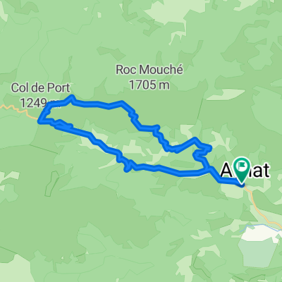
Cycling Route in Tarascon-sur-Ariège, Languedoc-Roussillon-Midi-Pyrénées, France

Mountagnole 2013

0
Open this route in the Bikemap app

Open this route in the Bikemap app

Open this route in Bikemap Web

Open this route in Bikemap Web

100 km
Distance
2175 m
Ascent
1898 m
Descent
-:-- h
Duration
-- km/h
Avg. Speed
--- m
Max. Elevation

About This Route

This cycling route is ideal for: Road bike

You will cycle on the following surfaces: Paved

Highlights Along The Route

Point of Interest

Col des Marrous Alt. : 990m Dist. : 34km

Point of Interest

Arrivée Auzat Alt. : 719m Dist. : 101,500km

Point of Interest

Col de Péguère Alt. : 1375m Dist. : 42,500

More highlights are available with Bikemap for iOS and Android.

Customize this cycling route with the Bikemap route planner.

Make it yours!

Did you know? You can use this route as a template in our cycling route planner if you don't wish to start from scratch. Customize it based on your needs to plan your perfect cycling tour.

Open it in the app