Cycling Route in Kandel, Rhineland-Palatinate, Germany
Nebel-Tour zum Hermersberger-Hof
2

Open this route in the Bikemap app

Open this route in Bikemap Web
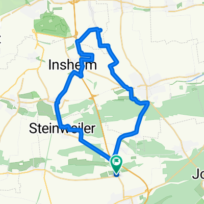
104
km
Distance
Distance
629
m
Ascent
Ascent
629
m
Descent
Descent
-:--
h
Duration
Duration
--
km/h
Avg. Speed
Avg. Speed
---
m
Max. Elevation
Max. Elevation