Premium Badge Download on the App Store Get it on Google Play Turn-by-turn Navigation Offline Maps Bike Type Optimized Routing Premium Maps Custom Bike Computer Export Routes Route Previews Fall Detection Premium Support

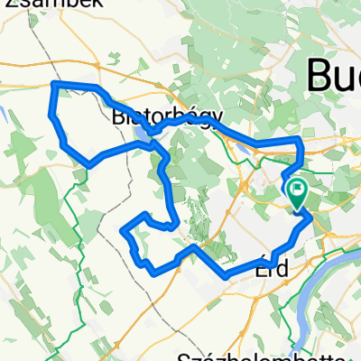
Cycling Route in Diósd, Pest megye, Hungary

Nagytétény-Érd-Budafok-Nagytétény

1
Open this route in the Bikemap app

Open this route in the Bikemap app

Open this route in Bikemap Web

Open this route in Bikemap Web

30 km
Distance
177 m
Ascent
179 m
Descent
-:-- h
Duration
-- km/h
Avg. Speed
--- m
Max. Elevation

About This Route

Nagytétényből egy kis emelkedő Diósdra az Angeli út - Szabadság út útvonalon. Rövid lejtő után egy kis sík, majd egy kisebb és egy nagyobb kaptató Érden, be érd központig. Gurulás le a 6-os és 7-es ut csomópontjáig, onnan a 6-oson majd a Nagytétényi úton sík Budafok központjáig. Kis kanyargás után egy 7-10% os emelkedő kb 1,5 km hosszan (Péter Pál utca), majd az Arany Jánoson a lakótelepig könnyű gurulás, onnan cikk-cakkban le a hagyről a tűzoltó-torony felé, vissz a Nagytétényi útra, majd sík hazáig.

This cycling route is ideal for: Road bike MTB

You will cycle on the following surfaces: Paved

Customize this cycling route with the Bikemap route planner.

Make it yours!

Did you know? You can use this route as a template in our cycling route planner if you don't wish to start from scratch. Customize it based on your needs to plan your perfect cycling tour.

Open it in the app