Cycling Route in Steyr, Upper Austria, Austria
Enns-Donau 06
1

Open this route in the Bikemap app

Open this route in Bikemap Web
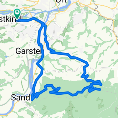
61
km
Distance
Distance
191
m
Ascent
Ascent
256
m
Descent
Descent
-:--
h
Duration
Duration
--
km/h
Avg. Speed
Avg. Speed
328
m
Max. Elevation
Max. Elevation