Cycling Route in Tegernsee, Bavaria, Germany
2013.05.01_Day3
1

Open this route in the Bikemap app

Open this route in Bikemap Web
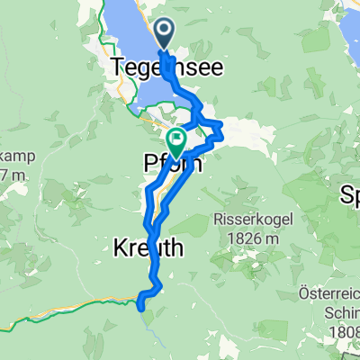
70
km
Distance
Distance
456
m
Ascent
Ascent
295
m
Descent
Descent
-:--
h
Duration
Duration
--
km/h
Avg. Speed
Avg. Speed
---
m
Max. Elevation
Max. Elevation