Cycling Route in Grunewald, Land Berlin, Germany
Einführungstour 2013
1

Open this route in the Bikemap app

Open this route in Bikemap Web
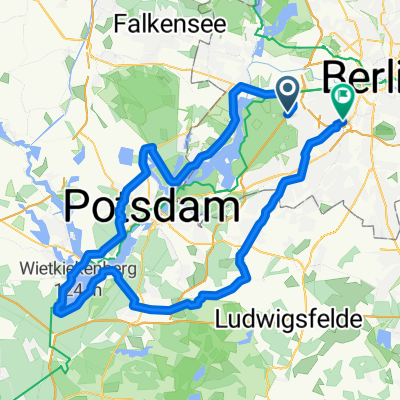
81
km
Distance
Distance
113
m
Ascent
Ascent
112
m
Descent
Descent
-:--
h
Duration
Duration
--
km/h
Avg. Speed
Avg. Speed
---
m
Max. Elevation
Max. Elevation