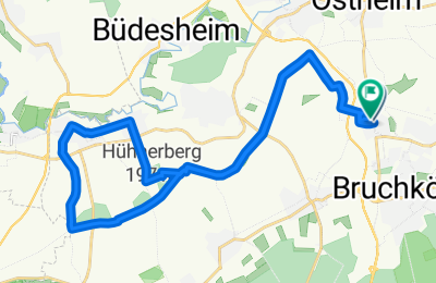
Cycling Route in Bruchköbel, Hesse, Germany
Hohe Straße - keine Landstraßen
1
Open this route in the Bikemap app

Open this route in Bikemap Web
27
km
Distance
Distance
193
m
Ascent
Ascent
192
m
Descent
Descent
-:--
h
Duration
Duration
--
km/h
Avg. Speed
Avg. Speed
206
m
Max. Elevation
Max. Elevation


