Cycling Route in Chiang Mai, Chiang Mai Province, Thailand
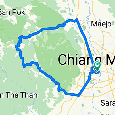
Epic Suthep XC ride
9

Open this route in the Bikemap app

Open this route in Bikemap Web
50
km
Distance
Distance
1351
m
Ascent
Ascent
1370
m
Descent
Descent
-:--
h
Duration
Duration
--
km/h
Avg. Speed
Avg. Speed
---
m
Max. Elevation
Max. Elevation