Premium Badge Download on the App Store Get it on Google Play Turn-by-turn Navigation Offline Maps Bike Type Optimized Routing Premium Maps Custom Bike Computer Export Routes Route Previews Fall Detection Premium Support

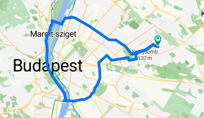
Cycling Route in Budapest XVI. kerület, Budapest főváros, Hungary

Budapest nagykör

2
Open this route in the Bikemap app

Open this route in the Bikemap app

Open this route in Bikemap Web

Open this route in Bikemap Web

36 km
Distance
102 m
Ascent
103 m
Descent
-:-- h
Duration
-- km/h
Avg. Speed
--- m
Max. Elevation

About This Route

Az út ahol csak lehet kerékpárúton vezet, ahol nincs út, ott kis forgalmú mellékutakon vezet.

Egész családnak ajánlott, akár kisgyerekkel is.

Útvonal:<br />Mátyásföld - Örs vezér tér - Mogyoródi út - Hungária körút - Lágymányosi híd - rakpart - Árpád híd - Rákod patak - Mátyásföld.

Időtartam: 2 - 3 óra

This cycling route is ideal for: Road bike MTB

You will cycle on the following surfaces: Paved

Customize this cycling route with the Bikemap route planner.

Make it yours!

Did you know? You can use this route as a template in our cycling route planner if you don't wish to start from scratch. Customize it based on your needs to plan your perfect cycling tour.

Open it in the app