Premium Badge Download on the App Store Get it on Google Play Turn-by-turn Navigation Offline Maps Bike Type Optimized Routing Premium Maps Custom Bike Computer Export Routes Route Previews Fall Detection Premium Support

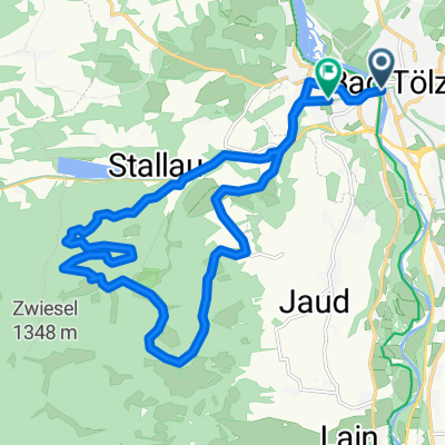
Cycling Route in Bad Tölz, Bavaria, Germany

Wackersberg-Blomberg-Zwiesel-Lehenbauernalm-Tölz

1
Open this route in the Bikemap app

Open this route in the Bikemap app

Open this route in Bikemap Web

Open this route in Bikemap Web

32 km
Distance
869 m
Ascent
865 m
Descent
-:-- h
Duration
-- km/h
Avg. Speed
--- m
Max. Elevation

About This Route

Strecke Details


Kurs Punkte
620
Distanz
31.58
km
geschätzte Zeit
1:42:19
Anstieg
867
Meter
Abstieg
864
Meter
Start Höhe
670
Meter
Ende Höhe
673
Meter
Minimum Höhe
646
Meter
Maximum Höhe
1249
Meter

This cycling route is ideal for: MTB

You will cycle on the following surfaces: Paved Unpaved Gravel

Customize this cycling route with the Bikemap route planner.

Make it yours!

Did you know? You can use this route as a template in our cycling route planner if you don't wish to start from scratch. Customize it based on your needs to plan your perfect cycling tour.

Open it in the app