Cycling Route in Die, Auvergne-Rhône-Alpes, France
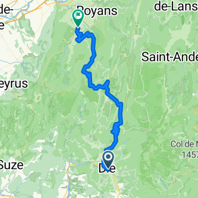
Die - Archiane
0

Open this route in the Bikemap app

Open this route in Bikemap Web
51
km
Distance
Distance
991
m
Ascent
Ascent
953
m
Descent
Descent
-:--
h
Duration
Duration
--
km/h
Avg. Speed
Avg. Speed
807
m
Max. Elevation
Max. Elevation