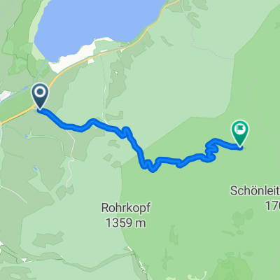
Streckenverlauf: Start: Füssen Parkplatz Bootshafen; auf Lechuferweg über Lechbrücke nach Hohenschwangau; Fürstenstraße bis Staatsgrenze, links auf Forstweg abwärts und auf Straße bis Pflach; über Lechbrücke nach Oberletzen und weiter über Bärenfalle zur Musauer-Alm/Füssener Hütte; zurück über Musauer Alm, Fahrstraße bis Bärenfalle und links über Musau ins Ranzental nach Vils (alternativ für Cracks! ab Musauer Alm links auf Fahrstraße, nach 2,5 km rechts abwärts Trage-/Schiebestrecke bis Forstweg ins Ranzental/Vils; über Alatsee/Faulenbacher-Tal nach Füssen; z.T. Tiroler MTB-Beschilderung (blau-gelb) Fahrtzeit: 4 - 5 Std. Wegeoberfläche: ca. 50% Asphalt, 50% Schotterwege empfohlene Fahrtrichtung: rechts (cloned from route 13760)


