Cycling Route in Weilbach, Bavaria, Germany
Zum Miltenberger MB-Trail !
0

Open this route in the Bikemap app

Open this route in Bikemap Web
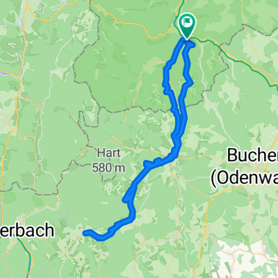
25
km
Distance
Distance
555
m
Ascent
Ascent
555
m
Descent
Descent
-:--
h
Duration
Duration
--
km/h
Avg. Speed
Avg. Speed
---
m
Max. Elevation
Max. Elevation