Premium Badge Download on the App Store Get it on Google Play Turn-by-turn Navigation Offline Maps Bike Type Optimized Routing Premium Maps Custom Bike Computer Export Routes Route Previews Fall Detection Premium Support

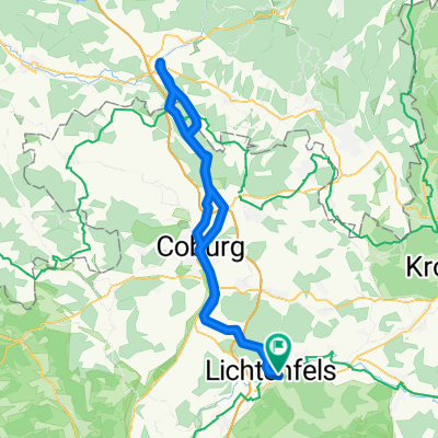
Cycling Route in Lichtenfels, Bavaria, Germany

Ködel- und Langenautal

0
Open this route in the Bikemap app

Open this route in the Bikemap app

Open this route in Bikemap Web

Open this route in Bikemap Web

127 km
Distance
410 m
Ascent
412 m
Descent
-:-- h
Duration
-- km/h
Avg. Speed
--- m
Max. Elevation

About This Route

Nach der gestrigen Nachtfahrt reizt mich heute wiederum eine längere Abendrunde, nicht zuletzt, um mit (mindestens) 114 km die 5.000er Marke mit der Speedmachine in diesem Jahr zu knacken.

Ideales Ziel für diese Unternehmung ist – zum zweiten Mal in diesem Jahr – der Trinkwasserspeicher bei Mauthaus. Nach dessen zweimaliger Umrundung mache ich noch einen Abstecher zur Max-Marien-Quelle im Langenautal und zapfe einen Liter des leckeren Heilwassers.

This cycling route is ideal for: Road bike

You will cycle on the following surfaces: Paved

Customize this cycling route with the Bikemap route planner.

Make it yours!

Did you know? You can use this route as a template in our cycling route planner if you don't wish to start from scratch. Customize it based on your needs to plan your perfect cycling tour.

Open it in the app