Premium Badge Download on the App Store Get it on Google Play Turn-by-turn Navigation Offline Maps Bike Type Optimized Routing Premium Maps Custom Bike Computer Export Routes Route Previews Fall Detection Premium Support

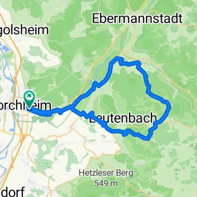
Cycling Route in Forchheim, Bavaria, Germany

Forchheim - Retterner Kanzel - Weilersbach - Forchheim

2
Open this route in the Bikemap app

Open this route in the Bikemap app

Open this route in Bikemap Web

Open this route in Bikemap Web

15 km
Distance
353 m
Ascent
353 m
Descent
-:-- h
Duration
-- km/h
Avg. Speed
--- m
Max. Elevation

About This Route

Steiler Anstieg in Forchheim, dann über Serlbach erst flach und dann leicht ansteigend,kurzes Stück Straße, im Wald zur Retterner Kanzel 900 m kontinuierlich steil ansteigend. Dann Abfahrt zur Hauptstraße steil. Lang bergab durch Weilersbach. Den Fahrradweg entlang der Haupstraße über Reuth nach Forchheim zurück.

This cycling route is ideal for: MTB

You will cycle on the following surfaces: Unpaved Gravel

Customize this cycling route with the Bikemap route planner.

Make it yours!

Did you know? You can use this route as a template in our cycling route planner if you don't wish to start from scratch. Customize it based on your needs to plan your perfect cycling tour.

Open it in the app