Cycling Route in Ortenberg, Baden-Württemberg, Germany
Route Zell-Weierbach - Ohlsbach - Brandecklindle - Späneplatz - Moosturm - Späneplatz - Fritscheneck - Riedle - Zell-Weierbach
3

Open this route in the Bikemap app

Open this route in Bikemap Web
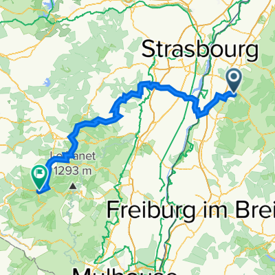
33
km
Distance
Distance
831
m
Ascent
Ascent
831
m
Descent
Descent
-:--
h
Duration
Duration
--
km/h
Avg. Speed
Avg. Speed
---
m
Max. Elevation
Max. Elevation